
Hike Hobsons Lake Trail in Halifax , Nova Scotia
/Bring a GPS when visiting Hobsons Lake Trail
There’s lots of exploring to do on Hobsons Lake Trail in Halifax
Hobsons Lake Trail, in the Blue Mountain-Birch Cove Lakes Wilderness Area
Colins Road, Halifax
15 minutes from the Armdale Roundabout
Scenery: 3.5/5
Terrain difficulty: 3.5/5
Our overall experience: 3/5
Be sure to Pin this post if you want to save it for later!

The Hobsons Lake Trail in the Blue Mountain-Birch Cove Lakes Wilderness Area of Halifax Nova Scotia is off the beaten track.. #hobsonslake #halifaxtrails #hikens #familyhiking
Be prepared when you head to Hobsons Lake Hiking Trail
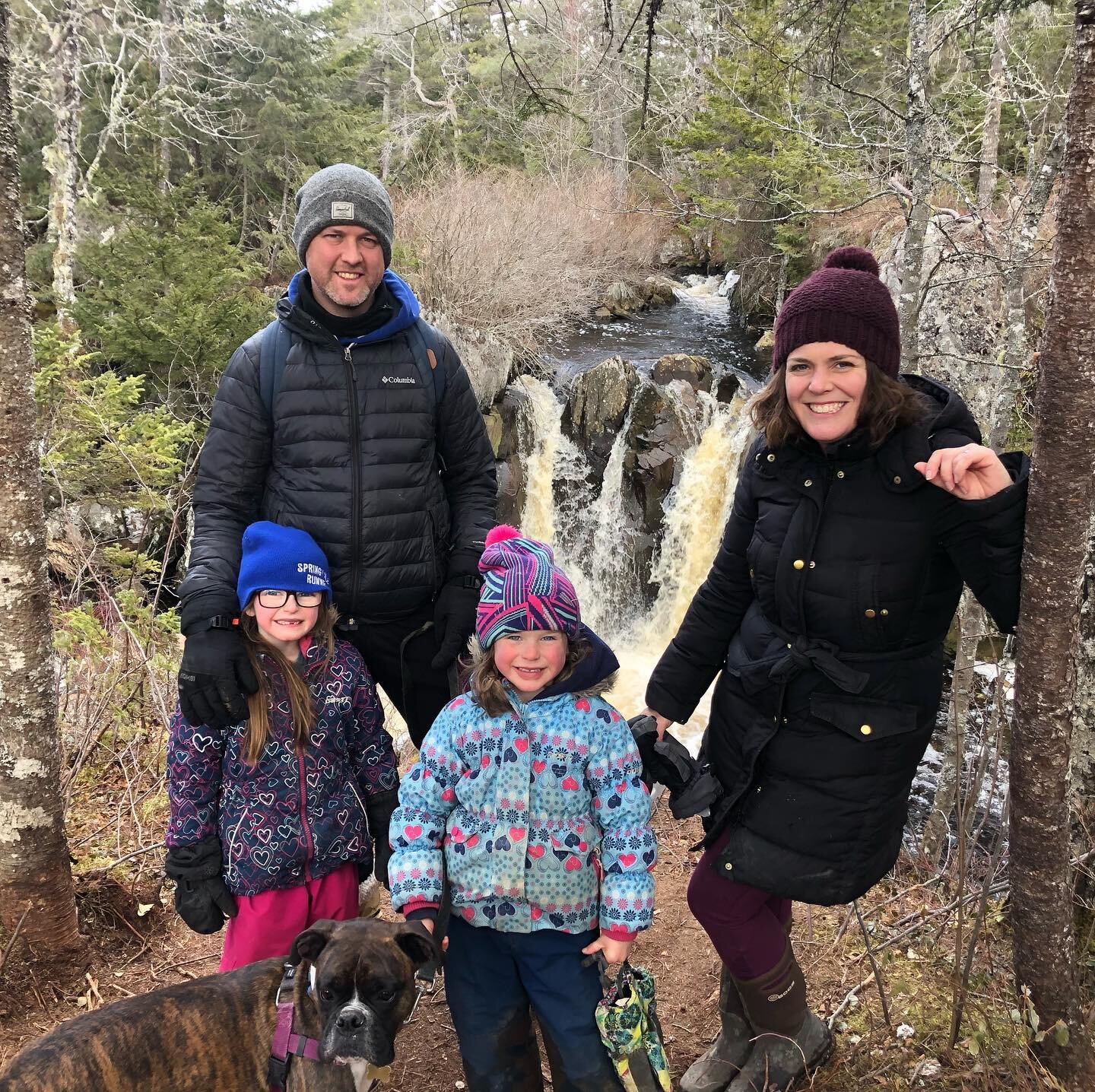
Not all hiking experiences are created equal. We learned this on a recent hike to a new area we’ve been wanting to explore - the trails around Blue Mountain-Birch Cove Lakes Wilderness Area.
We’ve been told it’s a great place to explore and were warned it can be a bit confusing and easy to get turned around. That’s not wrong!
This provincial wilderness area on the edge of the city is made up of about 200 acres of woodland, with many interconnecting trails, loops, and systems of lakes spreading from Kearney Lake Road out to Timberlea.

The look-off on the Hobsons Lake Trail in Halifax is worth a visit. #discovernovascotia #halifax #familytime #familyhiking #familyfun #getoutside #nature #hikens #nstrails #halifaxtrails #halifaxhikes
We chose to attempt Hobson’s Lake trail, a 4.3-kilometre hike. I was intent on hiking a loop trail, something we could tackle start to finish, rather than arbitrarily deciding when to turn around on a one-way in-and-out trail. The reviews on Alltrails.com, a super helpful website (also available as an app) that lets you look up all kinds of information before you go seemed reasonable (but treat it like TripAdvisor. Someone’s three-star reviews may be your idea of five-star, and vice-versa!).

Bring sturdy footwear, there is rugged terrain underfoot on the Hobsons Lake Trail. You’ll need a map or GPS so you don’t get lost. #discovernovascotia #halifax #familytime #familyhiking #familyfun #getoutside #nature #hikens #nstrails #halifaxtrails #halifaxhikes
Be prepared when you head out on any Hike
You really do need to do your research before you start exploring this area, unless you have lots of time, don’t mind getting lost, and have hikers with lots of stamina with you. This day, we did not. Go prepared with a fully charged cell phone or GPS tracker. You will need to consult a map to ensure you are going in the right direction, because the trail is not always obvious. The plus side is, this does make it feel like you are truly in the wilderness, literally off the beaten track.
To access this wilderness area, parking is available at the end of Colins Road near Kearney Lake. This is where we parked, along with about 15 other cars on the cul-de-sac.

The Hobsons Lake Trail in Halifax, Nova Scotia is worth the hike even if you don’t make it around the lake. #discovernovascotia #halifax #familytime #familyhiking #familyfun #getoutside #nature #hikens #nstrails #halifaxtrails #halifaxhikes
Before we even got started, we had to consult the map on my phone. You’ll see a long fence on the top of a hill, with hikers coming and going from both sides, heading in different directions. We climbed up the right side and into the woods beyond. We carefully followed the GPS leading us forward and slightly to the right, heading counter-clockwise around Hobson’s Lake. At times, the trail was obvious, at times we started hiking off the route. Any time the trail felt a little off, we consulted the map and shifted back.
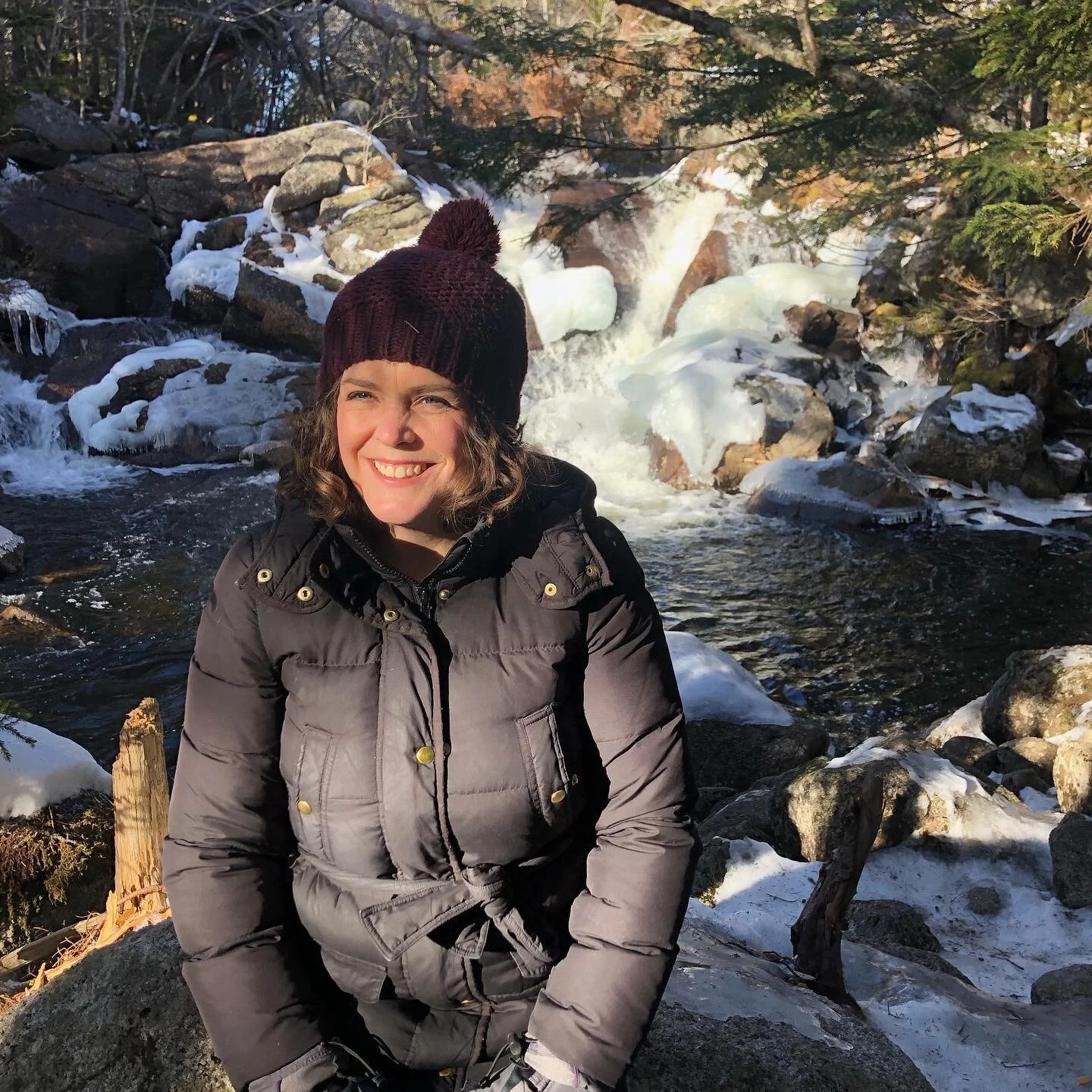
The terrain is rugged, hilly at first, and certainly not accessible, though kid-friendly. You’ll definitely want sturdy footwear. There are old-growth trees, moss, lots of giant boulders, and tree roots underfoot the whole time.

Hobson’s Lake Trail, in the Blue Mountain-Birch Cove Lakes Wilderness Area, is a great place to explore, but be careful – it’s easy to get turned around and the trail is quite rugged. #discovernovascotia #halifax #familytime #familyhiking #familyfun #getoutside #nature #hikens #nstrails #halifaxtrails #halifaxhikes
Check out the rest of this article in The Chronicle Herald to find out how we fared on the rest of our hike on Hobson Lake Trail.
Continue reading my column Hike Nova Scotia: Hobsons Lake Trail

Lots of family fun to be had exploring on the Hobsons Lake Trail in Halifax, Nova Scotia. #discovernovascotia #halifax #familytime #familyhiking #familyfun #getoutside #nature #hikens #nstrails #halifaxtrails #halifaxhikes
Follow me on Instagram @theheatherchronicles

More from The Heather Chronicles


The tale of two dog owners